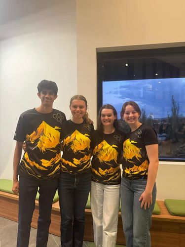
Why wait for Division 5? Division 6 are on the go!
Sat 02:36. Posted by Chloe Woodburn - IB Marketing Officer.
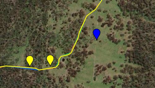
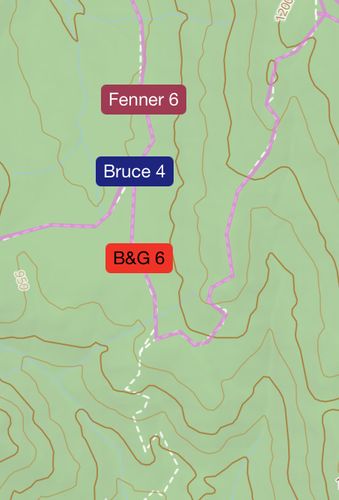
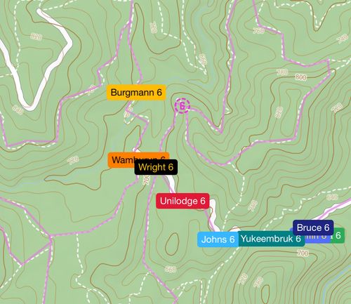
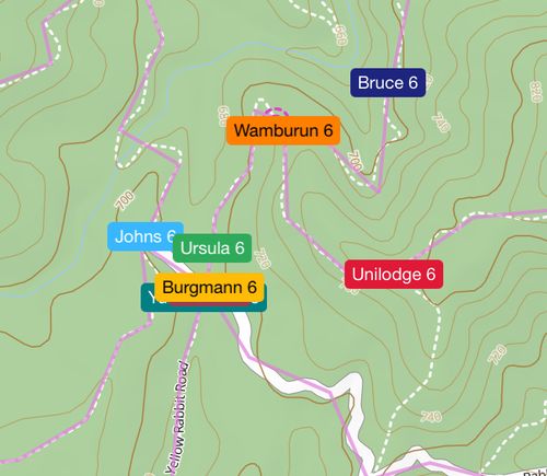
Division 6 - Lower Cotter Catchment (-35.342703, 148.871888)
Drop time: 02:32
Scout time: 4 mins
Do you enjoy the crisp, fresh smell of pine? I do! I hope Division 6 does too, because their Dropsite is right in the middle of a pine plantation.
This is the Dropsite I’ve been looking forward to the most, because it is, in my opinion, the most difficult Dropsite of the night.
There are two main factors that have brought me to this conclusion: the incredibly short scout time and the devastating consequences of choosing the wrong route from Dropsite.
This is going to be a long one, so strap in (…or skip to the next post…).
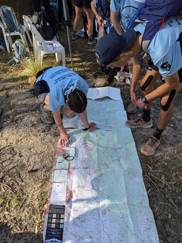
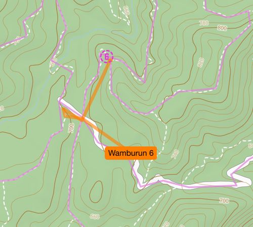
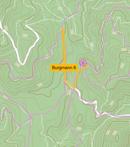
Division 6 are dropped in the middle of a three-way intersection. In response to this, some teams may choose to send one of their navigators to scout in the third direction, whilst others may just pick two directions and hope they’ve made a good choice. No matter what teams attempt to do, it’s important that they decide quickly: waste time in discussion and those 4 minutes will disappear quickly. Some teams may be prepared for this situation - it can be beneficial to discuss scenarios such as this with your team prior to Race Day.
Further, with just 4 minutes in which to scout, it’s important that scouts sprint out of sight of their navigators before even thinking about recording the terrain. If scouts fall into the trap of trying to get all of the details down from Dropsite, time will be up before they’ve even left.
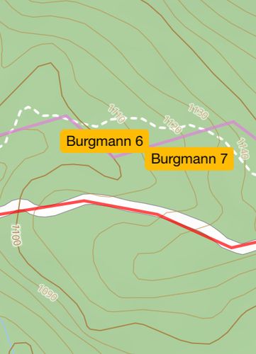
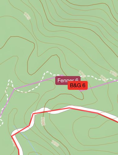
So, after their 4 minutes of scouting, what information are teams working with? They know they’re in pine. They know they’re at a three-way intersection. They are along a spur that slopes down to the west. The western route out of endpoint features a fairly significant hairpin bend, the southern route tracks the spur, and the eastern route also bends sharply in the opposite direction. This information may be enough to allow eagle-eyed teams to pick their location with accuracy.
Will teams take the time to locate themselves? A short scout time can also create a more frenzied environment.
My prediction is that we’ll see teams leave this Dropsite fairly quickly and in multiple directions. Depending on when teams identify their precise locations, we could see some really interesting outcomes. This race could well be decided based on who happens to choose the best route out of Dropsite.
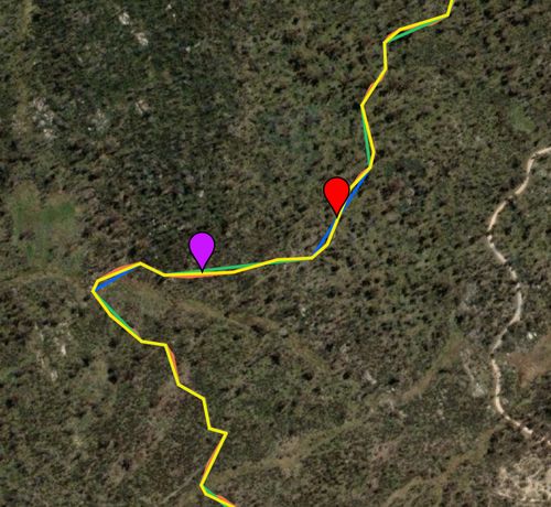
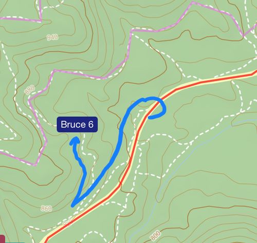
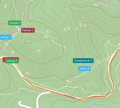
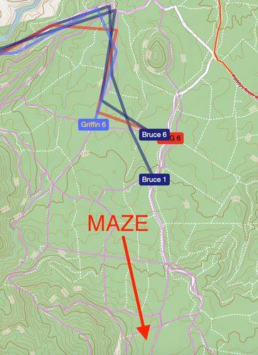
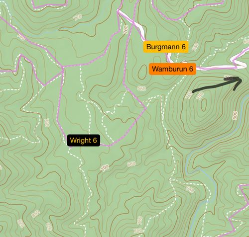
This optimal route is to head west, follow the road as it bends south to a second intersection, and then turn left to head east along the solid line road. This is not an intuitive route to follow if teams do not know where they are (particularly because the change from dotted to solid-line road is not very significant in this area).
So, how are teams likely to respond?
If teams have successfully identified that they are in a plantation area, they will likely think that their best bet is to generally head south, even if they’re unsure of their precise location. This is because Endpoint is located along the overlap of the north and south course maps, and there are no plantation areas on the south map.
Far from assisting teams, this belief may actually lead Division 6 astray - if they head directly south (up the spur) out of dropsite, they will quickly curve uphill to the east, then north, extend their route unnecessarily, and add 150 metres of elevation gain to their route for good measure.
Some teams may choose to head east. This is not the most efficient route, but may hopefully provide teams with enough information to work out their location early on, allowing them to travel faster and more confidently. This would be a fine outcome.
If teams do choose to head west (the optimal choice), they’re not yet in the clear. The next intersection they reach will be crucial. If teams continue south (which they might think is likely to be most reasonable), they will start themselves on a long, difficult journey through pine and extend their route significantly. That is to say, heading west could be the best choice, or it could be absolutely catastrophic.
There may be some signage in the area, particularly along the western route, that could help teams avoid the trap of this southern path. Will this be enough to save all of Division 6 from an unnecessary slog?
This is a tough drop! Hopefully teams figure out their location sooner rather than later and avoid logging (haha, get it… they’re in pine…) additional kilometres.

