Division 4 is at Dropsite!
Sat 02:09. Posted by Chloe Woodburn - IB Marketing Officer.
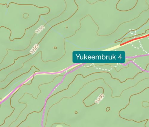
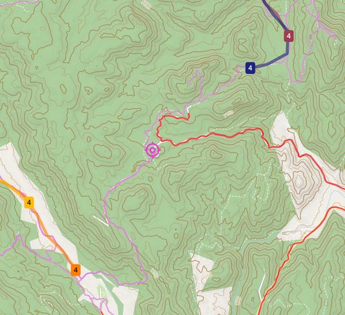
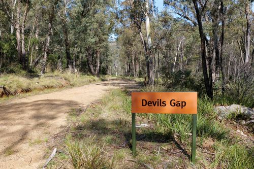
Division 4 - Bendora Rd (-35.407157, 148.846263)
Drop time: approximately 2:10am (this will be updated)
Scout time: 18 mins
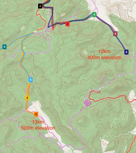
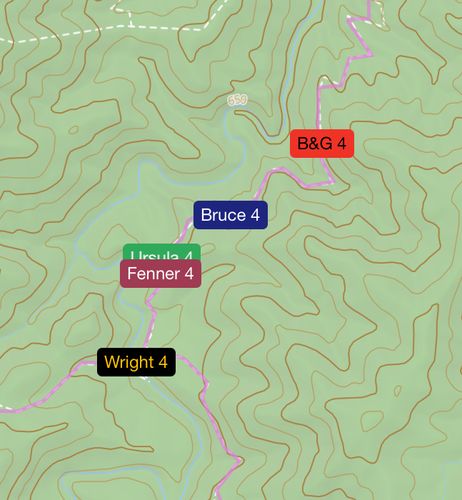
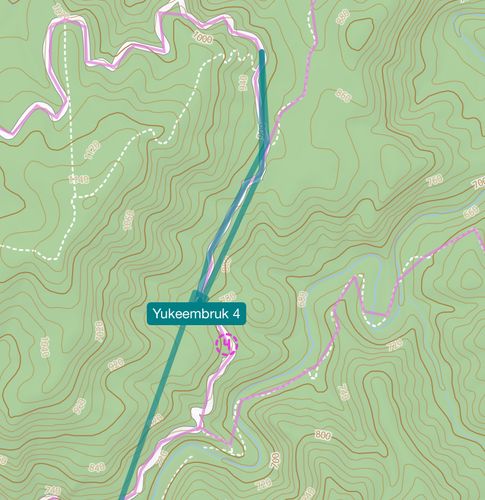
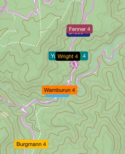
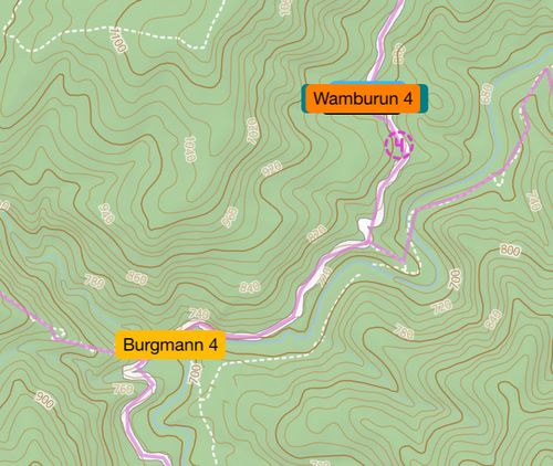
From Dropsite, teams should note that they are on the eastern edge of a significant slope. Instantly, navigators should be identifying significant peaks within the course area and focusing on areas to the east of these peaks - this will be the fastest way to narrow down the course area. They should also note that they are in an area of thick vegetation, and on a spur as well as a bend in the road. Hopefully, during the scouting period, navigators can therefore have some idea of their possible location before even hearing the information that the scouts can provide.
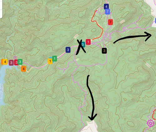
Division 4 scouts have their work cut out for them! The terrain near Dropsite is steep, and it will be important that scouts pace themselves to make it back in time for the scout time cut-off and avoid a significant time penalty. In particular, scouts who run south will head downhill from dropsite - if they misjudge their turnaround point, they may be in a for a difficult run back up to dropsite.
In both scouting directions, scouts may encounter locked gates. Gates are usually marked on the maps, so this can be helpful information - but it’s important that scouts don’t attempt to jump these gates, as without knowing their location in the course area, they cannot know for certain whether they are on private property or public land.
In both directions, scouts will also encounter winding roads. In the northern direction, there are two particularly sharp bends that scouts should note. However, in areas such as this where winding roads make sharp turns over short distances, it is important that scouts remember the scale of the map, which sometimes causes road shapes to be imprecise.
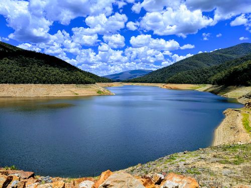
Scouts who run south may see the cotter river, another significant clue.
Let’s see which direction they go!

